Login
Star users
Poll
Home
>
United States
>
Ohio
>
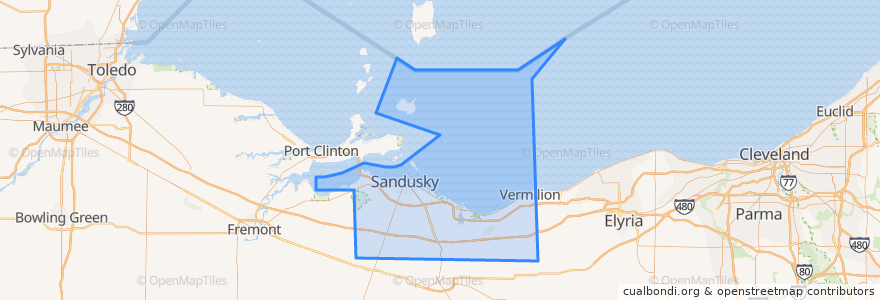
Erie County
Erie County
See in interactive map
Routes of public transport
Blue Line
Cedar Point & Lake Erie Railroad
Yellow Line
Places
Sandusky
(3)
Huron Township
(1)
Perkins Township
(1)
Berlin Township
(0)
Florence Township
(0)
Groton Township
(0)
Huron
(0)
Kelleys Island
(0)
Margaretta Township
(0)
Milan Township
(0)
Oxford Township
(0)
Vermilion Township
(0)
Stops
Sandusky Plaza
Sycamore & Milan
Meijer
Milan & Perkins
Milan & Bogart
Warren & Monroe
Sandusky Fireworks Store
Taco Bell
Huron & Hancock
Cedar Point Drive & River Road
Milan & Sycamore
Milan & Dewitt
Washington & Wayne
BP Station
Warren & Scott
Milan & Perkins
Warren & Scott
Crossings
Sandusky Plaza
Huron & Monroe
First & Cedar Point Drive
250/ Bogart
Milan & Dewitt
Kalahari Employee Lot
-82.68580630000001, 41.481835200000006
Mall (Behind Best Buy)
Huron & Hancock
Columbus and Water
Walmart
Cedar Point Express
Points of interest
Outback Steakhouse
Erie County Law Library
Burger Patio
Church of Christ
Berlin Township
Speedway
Erie County
Groton Township
Sonic
Famous Dave's
Car Wash
Joe Muggs Coffee
Jet Express
Red Garter Saloon
Mr. Hero
Jolly Donut
Pizza Patio
Dunkin' Donuts
Sandusky City Hall
Firelands Regional Medical Centers
First Baptist Church
Rapid Fired Pizza
Subway
Melt Bar and Grilled
Sycamore Elementary School
Castalia
Daly's Pub
Engine House Custard
American Driving School
Auntie Annie's