تسجيل الدخول
مستخدمي ستار
تصويت
الصفحة الرئيسية
>
الولايات المتّحدة الأمريكيّة
>
أوهايو
>
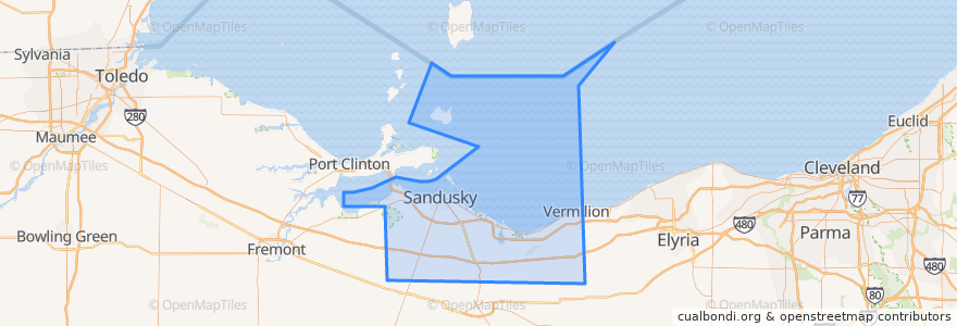
Erie County
Erie County
انظر في الخريطة التفاعلية
طرق النقل العام
Blue Line
Cedar Point & Lake Erie Railroad
Yellow Line
أماكن
Sandusky
(3)
Huron Township
(1)
Perkins Township
(1)
Berlin Township
(0)
Florence Township
(0)
Groton Township
(0)
Huron
(0)
Kelleys Island
(0)
Margaretta Township
(0)
Milan Township
(0)
Oxford Township
(0)
Vermilion Township
(0)
موقف
Warren & Scott
Columbus and Water
Milan & Sycamore
Cedar Point Drive & River Road
-82.68580630000001, 41.481835200000006
First & Cedar Point Drive
Frontier
Huron & Monroe
Sandusky Plaza
Warren & Monroe
Milan & Perkins
Milan & Bogart
250/ Bogart
Milan & Dewitt
Huron & Hancock
BP Station
Taco Bell
Crossings
Jackson & Washington
Cedar Point Express
Hotel Across From Fireworks Store
Sandusky Fireworks Store
Milan & Perkins
Warren & Scott
Sandusky Plaza
Washington & Wayne
Kalahari Employee Lot
Mall (Behind Best Buy)
Sycamore & Milan
Meijer
مجالات الاهتمام
Iron Dragon Midway
First Baptist Church
Mount Zion Church of God in Christ
Fazoli's
Sandusky Alliance Church
Perkins Township
Super-Fast Car Wash
Denny's
Berlin Township
Graham's Restaurant & Lounge
Milan
Second Baptist Church
American Driving School
Burger Patio
Culver's
Subway
Famous Dave's
Speedway
Melt Bar and Grilled
Daly's Pub
Erie County Law Library
Barry Bagels
Sandusky City Hall
Bay View
Jimmy John's
Vermilion Township
Monroe Elementary School
Buffalo Wild Wings
Starbucks
Florence Township