Login
Star users
Poll
Home
>
United States
>
Ohio
>
Cuyahoga County
>
Cleveland Heights
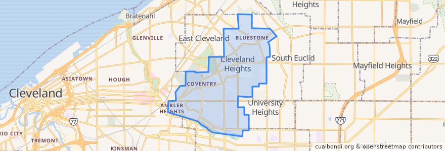
Cleveland Heights
See in interactive map
Routes of public transport
RTA 32 Cedar
RTA 37 East 175-Taylor
RTA 41F Warrensville (northbound)
RTA 41F Warrensville (southbound)
Stops
Mayfield - Warrensville
-81.5553304, 41.5014188
-81.55631410000001, 41.501245100000006
Mayfield - Warrensville
-81.56085080000001, 41.501388000000006
Mayfield - Warrensville
-81.56397650000001, 41.501174500000005
-81.56519580000001, 41.501166600000005
-81.56523030000001, 41.501347800000005
Mayfield - Warrensville
Points of interest
A Dental TLC
KFC
Barrio
M. T. Glass
Bruegger's Bagels
Irv's Sandwich Shop
Buffalo Wild Wings
Forest Hill Church of Christ
Heights Animal Hospital
The Social Room
Subway
US Bank
Cedar Hill School
PNC Bank
Luna Cafe
Pizza BOGO
Discovery Preschool
Irish Pub
Noble Road Presbyterian Church
Aladdin's Eatery
Anatolia Cafe
Vero Bistro
Richie Chan's
The Bottlehouse
Pub on Lee
Teresa's Pizza
The Fairmount
Hope Evangelical Lutheran Church
Liquid Planet
Chase