Login
Star users
Poll
Home
>
United States
>
California
>
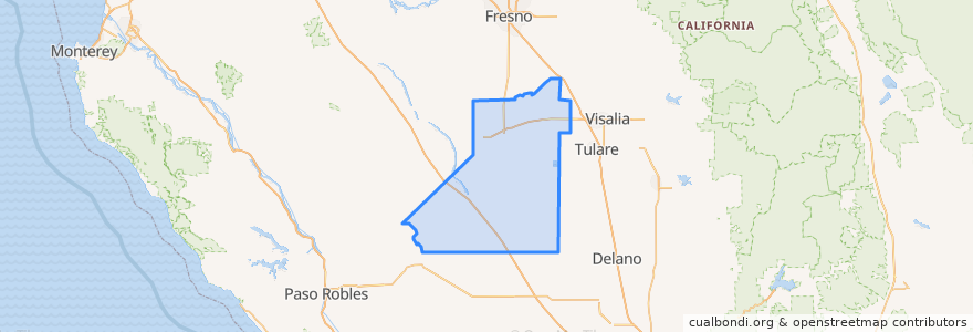
Kings County
Kings County
See in interactive map
Routes of public transport
Amtrak San Joaquins: Bakersfield => Oakland
Amtrak San Joaquins: Bakersfield => Sacramento
Amtrak San Joaquins: Oakland => Bakersfield
Amtrak San Joaquins: Sacramento => Bakersfield
Flixbus 2000: Los Angeles => Sacramento
Flixbus 2000: Sacramento => Los Angeles
Flixbus N2003: San Diego => San Francisco
Flixbus N2003: San Francisco => San Diego
Hanford - Laton
Hanford - Laton
Hanford - Laton
Hanford - Laton
Hanford - Lemoore
Hanford - NAS
Hanford - NAS
Northeast Hanford
North Hanford
West Hanford
Places
Hanford
(14)
Corcoran
(4)
Lemoore
(3)
Hanford
(0)
Hanford
(0)
Hanford
(0)
Hanford
(0)
Stops
Corcoran
Hanford
Corcoran
Hanford
Points of interest
First Presbyterian Church
Earl F Johnson High School
The Habit Burger Grill & Bar
First Pentecostal Church
Corcoran Branch Kings County Library
Hanford
Pioneer Primary School
Corcoran Post Office
Super Buffet
Bank of America
First Christian Church
Adventist Health Medical Offices - Hanford
Glad Tidings Assembly of God Church
Metro 4 Cinema
Kings Christian Elementary School
Buffalo Wild Wings
Rally's
Akers Elementary School
CVS
First Baptist Church
Corcoran City Hall
McDonald's
Adventist Health Hanford - Birth Center
Union Bank
Hanford
Jimmy John's
Chipotle
First Church of Christ Scientist
Lemoore Adult School
Cisneros Taqueria #2