Accesso
Utenti preferiti
Sondaggio
Homepage
>
Stati Uniti d'America
>
California
>
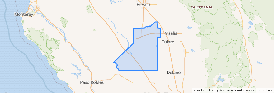
Kings County
Kings County
Visualizza nella mappa interattiva
Percorsi di trasporto pubblico
Amtrak San Joaquins: Bakersfield => Oakland
Amtrak San Joaquins: Bakersfield => Sacramento
Amtrak San Joaquins: Oakland => Bakersfield
Amtrak San Joaquins: Sacramento => Bakersfield
Flixbus 2000: Los Angeles => Sacramento
Flixbus 2000: Sacramento => Los Angeles
Flixbus N2003: San Diego => San Francisco
Flixbus N2003: San Francisco => San Diego
Hanford - Laton
Hanford - Laton
Hanford - Laton
Hanford - Laton
Hanford - Lemoore
Hanford - NAS
Hanford - NAS
Northeast Hanford
North Hanford
West Hanford
Posti
Hanford
(14)
Corcoran
(4)
Lemoore
(3)
Hanford
(0)
Hanford
(0)
Hanford
(0)
Hanford
(0)
Fermate
Corcoran
Hanford
Corcoran
Hanford
Punti di interesse
Citibank
La Playita
Body of Christ Ministries
Country Waffles
Pioneer Primary School
Mexican Mission Baptist Church
Lemoore Adult School
Monroe School
McDonald's
Taqueria La Esquinita
The Remington
Corcoran
Akers Elementary School
Cold Stone Creamery
Toshiko
Neutra Elementary School
Cisneros Taqueria #2
Subway
First Baptist Playschool
Corcoran Post Office
Crossroads Christian Fellowship Church
Kings County
Subway
Jimmy John's
Church of Christ
Salvation Army Church
The Church of Jesus Christ of Latter-day Saints
Kings County Free Library
Little Caesars
Hanford