Ouverture de session
Utilisateurs étoile
Sondage
Accueil
>
États-Unis d'Amérique
>
Pennsylvanie
>
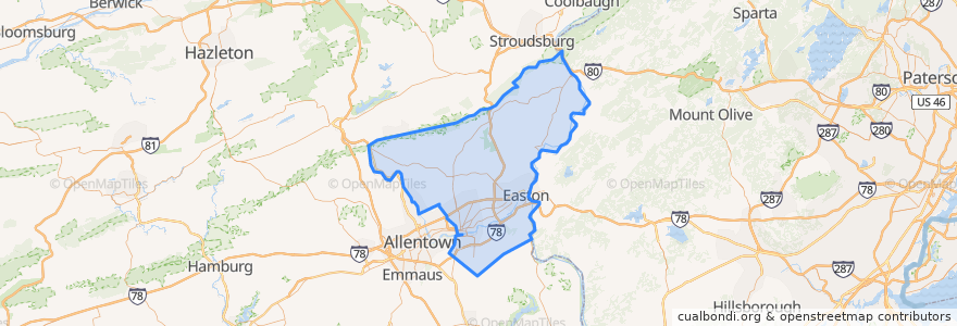
Northampton County
Northampton County
Voir sur la carte interactive
Itinéraires des transports publics
Flixbus 2683: Ithaca => New York City
Flixbus 2683: New York City => Ithaca
Flixbus 2686: Niagara Falls => New York City
Endroits
Allen Township
(0)
Bangor
(0)
Bath
(0)
Bethlehem Township
(0)
Bushkill Township
(0)
Chapman
(0)
East Bangor
(0)
Easton
(0)
Forks Township
(0)
Freemansburg
(0)
Hanover Township
(0)
Hellertown
(0)
Lehigh Township
(0)
Lower Mount Bethel Township
(0)
Lower Nazareth Township
(0)
Lower Saucon Township
(0)
Moore Township
(0)
Nazareth
(0)
Northampton
(0)
North Catasauqua
(0)
Palmer Township
(0)
Pen Argyl
(0)
Plainfield Township
(0)
Portland
(0)
Roseto
(0)
Stockertown
(0)
Tatamy
(0)
Upper Mount Bethel Township
(0)
Upper Nazareth Township
(0)
Walnutport
(0)
Washington Township
(0)
West Easton
(0)
Williams Township
(0)
Wilson
(0)
Wind Gap
(0)
Points d'interêts
Kelly's Ice Cream
Pen Argyl
Wilson
Slateford Inn
Allen Township
Bangor
Nazareth
Taco Bell
Wind Gap
Lower Saucon Township
Lehigh Township
Northampton
Stockertown
Easton
Chapman
Palmer Township
Roseto
East Bangor
Freemansburg
Dutt Veterinary Hospital
Northampton County
The Overlook
Upper Mount Bethel Township
Washington Township
Portland
Bushkill Township
Tatamy
Bethlehem Township
Upper Nazareth Township
Williams Township