Oturum aç
Yıldız kullanıcılar
Anket
anasayfa
>
Amerika Birleşik Devletleri
>
Pensilvanya
>
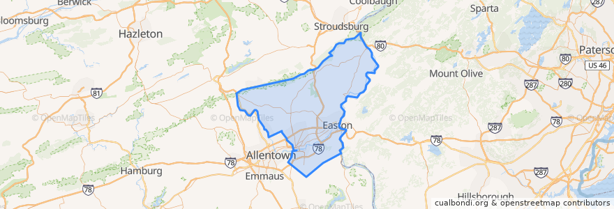
Northampton County
Northampton County
Etkileşimli haritada görüntüle
Toplu taşıma yolları
Flixbus 2683: Ithaca => New York City
Flixbus 2683: New York City => Ithaca
Flixbus 2686: Niagara Falls => New York City
Yerler
Allen Township
(0)
Bangor
(0)
Bath
(0)
Bethlehem Township
(0)
Bushkill Township
(0)
Chapman
(0)
East Bangor
(0)
Easton
(0)
Forks Township
(0)
Freemansburg
(0)
Hanover Township
(0)
Hellertown
(0)
Lehigh Township
(0)
Lower Mount Bethel Township
(0)
Lower Nazareth Township
(0)
Lower Saucon Township
(0)
Moore Township
(0)
Nazareth
(0)
Northampton
(0)
North Catasauqua
(0)
Palmer Township
(0)
Pen Argyl
(0)
Plainfield Township
(0)
Portland
(0)
Roseto
(0)
Stockertown
(0)
Tatamy
(0)
Upper Mount Bethel Township
(0)
Upper Nazareth Township
(0)
Walnutport
(0)
Washington Township
(0)
West Easton
(0)
Williams Township
(0)
Wilson
(0)
Wind Gap
(0)
İlgi noktaları
Walnutport
Forks Township
Pen Argyl
Hanover Township
Dutt Veterinary Hospital
Freemansburg
Wind Gap
Northampton County
Bushkill Township
Glendon
Upper Mount Bethel Township
Lehigh Township
North Catasauqua
Bethlehem
Palmer Township
Kelly's Ice Cream
Taco Bell
Bath
Hellertown
Moore Township
Plainfield Township
Lower Mount Bethel Township
Williams Township
Washington Township
Roseto
Chapman
Wilson
Lower Nazareth Township
Tatamy
Lower Saucon Township