로그인
스타 사용자
투표
홈페이지
>
미국
>
펜실베이니아
>
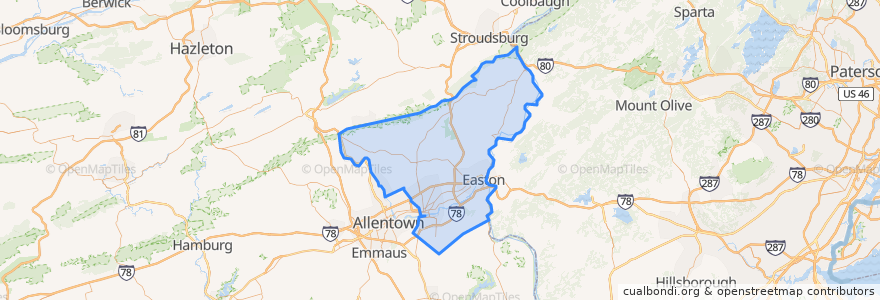
Northampton County
Northampton County
대화식지도에서보기
대중 교통 경로
Flixbus 2683: Ithaca => New York City
Flixbus 2683: New York City => Ithaca
Flixbus 2686: Niagara Falls => New York City
장소
Allen Township
(0)
Bangor
(0)
Bath
(0)
Bethlehem Township
(0)
Bushkill Township
(0)
Chapman
(0)
East Bangor
(0)
Easton
(0)
Forks Township
(0)
Freemansburg
(0)
Hanover Township
(0)
Hellertown
(0)
Lehigh Township
(0)
Lower Mount Bethel Township
(0)
Lower Nazareth Township
(0)
Lower Saucon Township
(0)
Moore Township
(0)
Nazareth
(0)
Northampton
(0)
North Catasauqua
(0)
Palmer Township
(0)
Pen Argyl
(0)
Plainfield Township
(0)
Portland
(0)
Roseto
(0)
Stockertown
(0)
Tatamy
(0)
Upper Mount Bethel Township
(0)
Upper Nazareth Township
(0)
Walnutport
(0)
Washington Township
(0)
West Easton
(0)
Williams Township
(0)
Wilson
(0)
Wind Gap
(0)
가볼만한 곳
Lehigh Township
Hellertown
Lower Saucon Township
Forks Township
North Catasauqua
Hanover Township
Slateford Inn
Portland
Bushkill Township
Plainfield Township
Pen Argyl
Roseto
Washington Township
Bethlehem Township
Bangor
Bethlehem
Easton
Williams Township
Freemansburg
Lower Nazareth Township
Kelly's Ice Cream
Glendon
Moore Township
East Bangor
West Easton
Allen Township
Walnutport
Lower Mount Bethel Township
Upper Nazareth Township
Chapman