تسجيل الدخول
مستخدمي ستار
تصويت
الصفحة الرئيسية
>
الولايات المتّحدة الأمريكيّة
>
تكساس
>
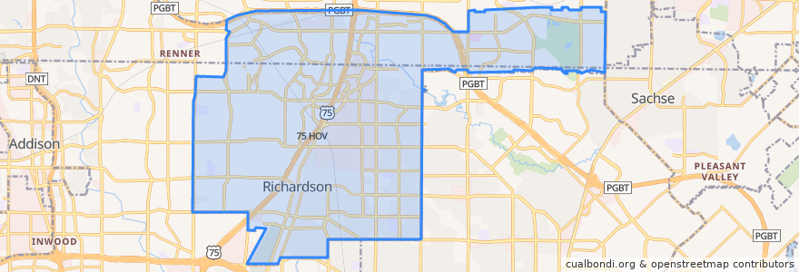
Richardson
Richardson
انظر في الخريطة التفاعلية
طرق النقل العام
DART 361 Arapaho Center/Addison Transit Center via Arapaho
DART 410 Parker Road Station/South Garland Transit Center
DART 585 Forest Lane/Spring Valley Station
Orange Line: DFW Airport => Parker Road
Orange Line: Parker Road => DFW Airport
Red Line: Cedars => Parker Road
Red Line: Parker Road => Cedars
Red Line: Parker Road => Westmoreland
Red Line: Westmoreland => Parker Road
موقف
-96.73739780000001, 32.940945500000005
-96.72281210000001, 32.963589400000004
-96.7030514, 33.0022559
-96.7228649, 32.96361
-96.7109659, 32.985165900000005
-96.7372905, 32.9408882
-96.71091200000001, 32.985153000000004
-96.7030926, 33.002267100000005
مجالات الاهتمام
Subway
Richardson Post Office
Jeng Chi
Frost
Sweet Mix
Potbelly
Hot Pancakes
Public parking for Richardson PD
Starbucks
Fernando's Mexican Cuisine
Twisted Root
Tricky Fish
Apollonia's Italian Kitchen
Magic Cup
Jasmine Cafe & Hookah Lounge
Frattelo
LegacyTexas
Hertz
Holy Frijoles
Arapaho Pharmacy
Chase
Shin
Spice 'N' Rice
Dog Haus
Richardson Post Office
Panera Bread
Kebab N Kurry
Coal Vines
Edoko Sushi & Robata
Heights Community Pharmacy