Login
Star users
Poll
Home
>
United States
>
Texas
>
Richardson
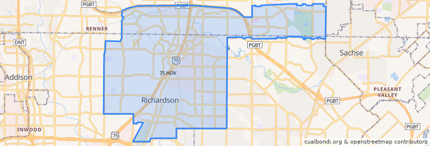
Richardson
See in interactive map
Routes of public transport
DART 361 Arapaho Center/Addison Transit Center via Arapaho
DART 410 Parker Road Station/South Garland Transit Center
DART 585 Forest Lane/Spring Valley Station
Orange Line: DFW Airport => Parker Road
Orange Line: Parker Road => DFW Airport
Red Line: Cedars => Parker Road
Red Line: Parker Road => Cedars
Red Line: Parker Road => Westmoreland
Red Line: Westmoreland => Parker Road
Stops
-96.72281210000001, 32.963589400000004
-96.7228649, 32.96361
-96.7030514, 33.0022559
-96.7030926, 33.002267100000005
-96.73739780000001, 32.940945500000005
-96.7372905, 32.9408882
-96.71091200000001, 32.985153000000004
-96.7109659, 32.985165900000005
Points of interest
Ten 50 BBQ
OMG Tacos
Chase
Hertz
Magic Cup
Papa Murphy's
Potbelly
Jeng Chi
Evolution Academy Charter School
Chiloso Mexican Bistro
Mooyah
Subway
Subway
Fernando's Mexican Cuisine
Hot Pancakes
Yumilicious Frozen Yogurt
Good Union Urban BBQ
Coal Vines
Dog Haus
Apollonia's Italian Kitchen
Richardson Post Office
Heights Community Pharmacy
Spice 'N' Rice
Richardson
Shin
Kebab N Kurry
Richardson Post Office
Subway
Jersey Mike's Subs
Tricky Fish