Accesso
Utenti preferiti
Sondaggio
Homepage
>
Stati Uniti d'America
>
Texas
>
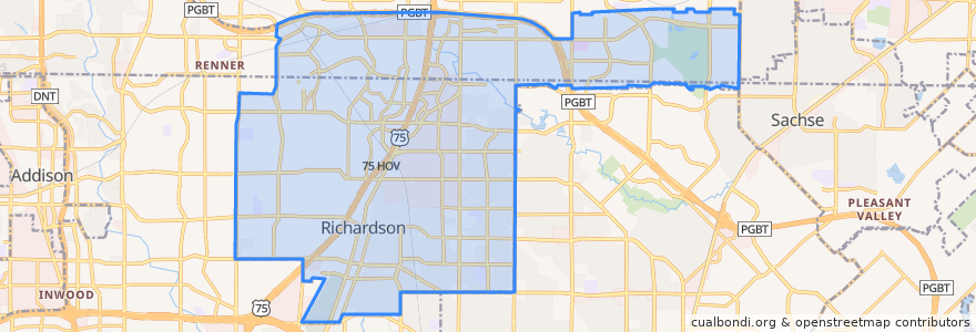
Richardson
Richardson
Visualizza nella mappa interattiva
Percorsi di trasporto pubblico
DART 361 Arapaho Center/Addison Transit Center via Arapaho
DART 410 Parker Road Station/South Garland Transit Center
DART 585 Forest Lane/Spring Valley Station
Orange Line: DFW Airport => Parker Road
Orange Line: Parker Road => DFW Airport
Red Line: Cedars => Parker Road
Red Line: Parker Road => Cedars
Red Line: Parker Road => Westmoreland
Red Line: Westmoreland => Parker Road
Fermate
-96.7109659, 32.985165900000005
-96.71091200000001, 32.985153000000004
-96.7030514, 33.0022559
-96.73739780000001, 32.940945500000005
-96.7372905, 32.9408882
-96.7030926, 33.002267100000005
-96.72281210000001, 32.963589400000004
-96.7228649, 32.96361
Punti di interesse
LegacyTexas
Ten 50 BBQ
Richardson
OMG Tacos
Southwestern National Bank
Mooyah
Routh Cemetery
Kebab N Kurry
Urban Eatz
Jeng Chi
Public parking for Richardson PD
Hot Pancakes
Richardson Post Office
Arapaho Pharmacy
Magic Cup
Holy Frijoles
Tricky Fish
Greenville Avenue School
Coal Vines
Heights Community Pharmacy
Frost
Russo's Coal-Fired Italian Kitchen
Starbucks
Richardson Post Office
Dog Haus
Subway
Spice 'N' Rice
Christa McAuliffe Learning Center
Chiloso Mexican Bistro
Jersey Mike's Subs