وارد شدن
کاربران ستاره
نظرسنجی
شروع
>
ایالات متحده آمریکا
>
کانزاس
>
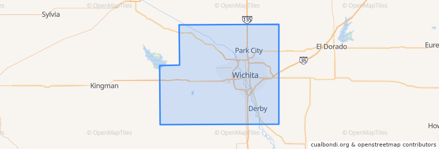
Sedgwick County
Sedgwick County
در نقشه تعاملی مشاهده کنید
مسیرهای حمل و نقل عمومی
Route 24
اماکن
Wichita
(1)
Andale
(0)
Bel Aire
(0)
Bentley
(0)
Cheney
(0)
Clearwater
(0)
Colwich
(0)
Derby
(0)
Eastborough
(0)
Garden Plain
(0)
Goddard
(0)
Haysville
(0)
Kechi
(0)
Maize
(0)
Mount Hope
(0)
Oaklawn-Sunview
(0)
Park City
(0)
Valley Center
(0)
Viola
(0)
نقاط مورد علاقه
Il Vicino
Garden Plain
Jimmy's Egg
Robert J Dole Department of Veterans Affairs Medical and Regional Office Center
Wichita
Caffe Posto
Farbique School
Cheney
Bel Aire
Plymouth Congregational Church
Bar
Derby
Andale
District Taqueria
Maize
West Haysville Baptist Church
River City Brewing Co.
Hyde Park Congregation Jehovahs Witnesses
Espresso to Go Go
Kansas Bureau of Investigations
Wichita Fire Department Battalion 9
Emerson Biggin's
Larkspur
Reverie Coffee Roasters
Lizzie's Delights Catering & Deli
First Southern Baptist Church
Playa Azul
Redeemer Lutheran School
Sedgwick County
Wine Dive