로그인
스타 사용자
투표
홈페이지
>
미국
>
캔자스
>
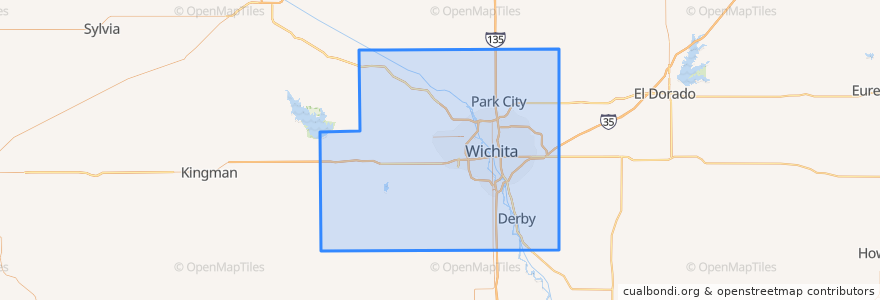
Sedgwick County
Sedgwick County
대화식지도에서보기
대중 교통 경로
Route 24
장소
Wichita
(1)
Andale
(0)
Bel Aire
(0)
Bentley
(0)
Cheney
(0)
Clearwater
(0)
Colwich
(0)
Derby
(0)
Eastborough
(0)
Garden Plain
(0)
Goddard
(0)
Haysville
(0)
Kechi
(0)
Maize
(0)
Mount Hope
(0)
Oaklawn-Sunview
(0)
Park City
(0)
Valley Center
(0)
Viola
(0)
가볼만한 곳
Mort's Cigar Bar
Plymouth Congregational Church
Andale
Clearwater
District Taqueria
Wine Dive
Lizzie's Delights Catering & Deli
Piatto Neapolitan Pizzeria
Wichita Fire Department Battalion 9
Reverie Coffee Roasters
Wichita Area Technical College - Schweiter Center Campus
Wichita
Pumphouse
Kansas Bureau of Investigations
Playa Azul
Watermark Books & Cafe
Sedgwick County
River City Brewing Co.
Emerson Biggin's
Derby
West Haysville Baptist Church
Il Vicino
Robert J Dole Department of Veterans Affairs Medical and Regional Office Center
Jimmy's Egg
First Southern Baptist Church
The Spice Merchant
Wichita Police Department - East
Mumbia Rail
Redeemer Lutheran Church
Hyde Magnet School