Login
Star users
Poll
Home
>
United States
>
Georgia
>
Clayton County
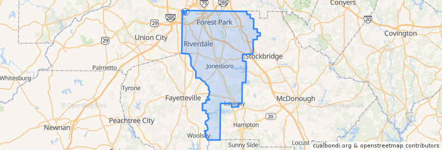
Clayton County
See in interactive map
Routes of public transport
ATL SkyTrain: Aeroport → Rental Car Center
ATL SkyTrain: Rental Car Center → Aeroport
MARTA 172 Sylvan Road/Virginia Avenue
MARTA 800 Lovejoy
Subway Gold Line: Airport Station => Doraville
Subway Gold Line: Doraville => Airport Station
Subway Red Line: Airport Station => North Springs
Subway Red Line: North Springs => Airport Station
The Plane Train: Concourse F → Domestic Baggage Claim
The Plane Train: Domestic Baggage Claim → Concourse F
Xpress 431 BrandsMart/Stockbridge to Midtown
Places
Forest Park
(1)
Jonesboro
(1)
Lovejoy
(1)
Morrow
(1)
Lake City
(0)
Riverdale
(0)
Stops
C Gates
B Gates
-84.4461445, 33.6407176
Domestic Terminal
GICC/Gateway Center
F Gates & International Terminal
D Gates
Airport Station
-84.4462881, 33.6407165
A Gates
E Gates
GICC/Gateway Center
T Gates
Airport Station
Points of interest
Cracker Barrel
Pinkberry
TAP
McDonald's
Atlanta Bread Co.
Delta Skyclub Lounge
Cafe Tazza
Proof of the Pudding
Lake City
Varasano's Pizzaria
Forest Park
Burger King
Wolfgang Puck
Shiloh Church
Coca-Cola vending
Arby's
The Coffee Bean & Tea Leaf
Popeyes
Divine Faith Ministries School
Links Grill
Coca Cola
Boardwalk Burgers
Low Country
Jonesboro
Five Guys
Georgia Grown
Orange Opt
Sweet Georgia's Juke Joint
Terminal North Gold Lot
Auntie Anne's