Log masuk
Pengguna bintang
Undian
Laman utama
>
Amerika Syarikat
>
Georgia
>
Clayton County
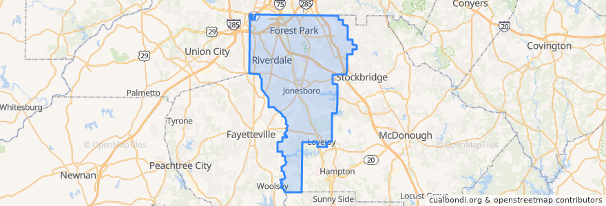
Clayton County
Lihat di peta interaktif
Laluan pengangkutan awam
ATL SkyTrain: Aeroport → Rental Car Center
ATL SkyTrain: Rental Car Center → Aeroport
MARTA 172 Sylvan Road/Virginia Avenue
MARTA 800 Lovejoy
Subway Gold Line: Airport Station => Doraville
Subway Gold Line: Doraville => Airport Station
Subway Red Line: Airport Station => North Springs
Subway Red Line: North Springs => Airport Station
The Plane Train: Concourse F → Domestic Baggage Claim
The Plane Train: Domestic Baggage Claim → Concourse F
Xpress 431 BrandsMart/Stockbridge to Midtown
Tempat
Forest Park
(1)
Jonesboro
(1)
Lovejoy
(1)
Morrow
(1)
Lake City
(0)
Riverdale
(0)
Perhentian
Airport Station
-84.4461445, 33.6407176
Airport Station
GICC/Gateway Center
GICC/Gateway Center
D Gates
B Gates
C Gates
-84.4462881, 33.6407165
Domestic Terminal
T Gates
E Gates
A Gates
F Gates & International Terminal
Tempat menarik
Crawford-Dorsey Cemetery
Cafe Intermezzo
Maison Mathis
Clayton County
Piano Bar
Brews and Blues
Cafe Tazza
Five Guys
Garbonzo Grill
Popeyes
Lottafruit
Dunkin' Donuts
TGI Friday's
Panda Express
currency exchange
Delta Skyclub Lounge
TGI Friday's
Delta Skyclub Lounge
Jonesboro Church of God
Delta Skyclub Lounge
TAP
Terrapin Tap House Cigar and Smoke Lounge
Freshens
IHOP
Chick-fil-A
Asian Chao
Famous Famiglia
food network kitchen
Coca Cola
One Flew South