Login
Star users
Poll
Home
>
Australia
>
Queensland
>
Whitsunday Regional
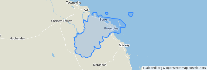
Whitsunday Regional
See in interactive map
Routes of public transport
Blue Shuttle
Bus 841: Town Centre => Queens Beach
Bus 842: Town Centre => Bowen Harbour
Bus 843: Town Centre => Rose Bay
Green Shuttle
Spirit of Queensland: Brisbane → Cairns
Whitsunday Transit route 1
Stops
Williams Street at Sinclair Street
Shute Harbour Rd near Orchid Rd (Hail n Ride)
Shute Harbour Rd at Rifle Range Road
Argyle Park Rd near Suthers St hail 'n' ride
Shute Harbour Rd at Altmann Avenue
Horseshoe Bay Road at Prentice Street
Blair Street at Main St
Shute Harbour Rd at Flametree
Palm valley
Soldiers Road at Verna Street
Herbert St near Daniel St hail 'n' ride
Shute Harbour Rd near Kookaburra Dr (Hail n Ride)
Shute Harbour Rd at Ferntree Road
Wests Lane at North Court
George St near Gregory St hail 'n' ride
Shute Harbour Rd at Hermitage Dr
Shute Harbour Rd at Tyree Road
Shute Harbour Rd at Plemenuk Road
Golf Links Rd near Strickland St hail 'n' ride
Shute Harbour Rd near Riordanvale Rd (Hail n Ride)
Tollington Rd near Wests Lane hail 'n' ride
Shute Harbour Rd at Manooka Drive
Proserpine
Gregory Street at Bowen Hospital
Gregory St near Scott St hail 'n' ride
Mackenzie St near Field St hail 'n' ride
Marina Tavern
Shute Harbour Rd at Loop Road
Proserpine Hospital;Taylor St near Herbert St (Hail n Ride)
Eshelby Dr near Eshelby Dr (Hail n Ride)
Points of interest
Whitsunday Regional