Ouverture de session
Utilisateurs étoile
Sondage
Accueil
>
Australie
>
Queensland
>
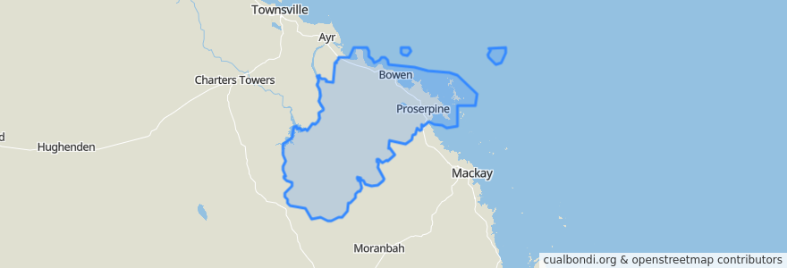
Whitsunday Regional
Whitsunday Regional
Voir sur la carte interactive
Itinéraires des transports publics
Blue Shuttle
Bus 841: Town Centre => Queens Beach
Bus 842: Town Centre => Bowen Harbour
Bus 843: Town Centre => Rose Bay
Green Shuttle
Spirit of Queensland: Brisbane → Cairns
Whitsunday Transit route 1
Arrêts
Shute Harbour Rd at Plantation Drive
Flametree Grove
Cocos Apartments
Horseshoe Bay Rd near Crofton St hail 'n' ride
Field Street near Webster Street
Blair Street at Main St
Murroona St near Bryant Ave hail 'n' ride
School
George St near Gregory St hail 'n' ride
Argyle Park Rd near Suthers St hail 'n' ride
Argyle Park Road at Rosshall Street
Passage Views 2
Shute Harbour Rd at Air Whitsunday Road
Horseshoe Bay Road at Murray Bay Road
Murroona Street at Beach Avenue
Horseshoe Bay Road at Prentice Street
Passage Views 1
Shute Harbour Rd near Jasinique Dr (Hail n Ride)
Proserpine
Golf Links Rd near Strickland St hail 'n' ride
Shute Harbour Rd at Manooka Drive
Williams St at Gregory Street
Shute Harbour Rd at Ferntree Road
Shute Harbor Rd nr William Murray Dr (Hail n Ride)
Horseshoe Bay Road at St Kilda Street
Shute Harbour Rd at Stewart Drive
Cruise Whitsundays
Reef View Hotel
Whitsunday Shopping Centre
Wests Lane at Tollington Road
Points d'interêts
Whitsunday Regional