Accesso
Utenti preferiti
Sondaggio
Homepage
>
Australia
>
Queensland
>
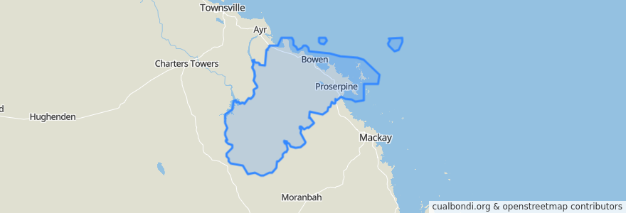
Whitsunday Regional
Whitsunday Regional
Visualizza nella mappa interattiva
Percorsi di trasporto pubblico
Blue Shuttle
Bus 841: Town Centre => Queens Beach
Bus 842: Town Centre => Bowen Harbour
Bus 843: Town Centre => Rose Bay
Green Shuttle
Spirit of Queensland: Brisbane → Cairns
Whitsunday Transit route 1
Fermate
Shute Harbour Rd at Braemar Road
Shute Harbour Rd at Airlie Beach Central
Gregory Street near Carleton Street
Herbert St near Daniel St hail 'n' ride
Richmond Road at Centre Point Plaza
Shute Harbour Rd near Riordanvale Rd (Hail n Ride)
Camm Rd near Usher Road
Shute Harbour Rd near Jasinique Dr (Hail n Ride)
Passage Views 1
Tollington Rd near Wests Lane hail 'n' ride
Shute Harbour Rd at Saint Martins Lane
Shute Harbour Rd at Rifle Range Road
Wests Lane at Argyle Park Road
Shute Harbour Rd at Manooka Drive
Shute Harbour Rd at Ferntree Road
Golf Links Rd near Lloyds Lane hail 'n' ride
Shute Harbour Rd at Orchid Road
Shute Harbour Rd at Conway NP
Herbert St near Livingston St hail 'n' ride
Williams St at Gregory Street
Shute Harbour Rd at Flametree
Golf Links Road at Mt Nutt Road
George St near Herbet St hail 'n' ride
Lake Views
Gloucester St near Murray Ave hail 'n' ride
Tracey St near Beach Ave hail 'n' ride
Shute Harb Rd nr Greg Canon Valey Rd (Hail n Ride)
Horseshoe Bay Road at Prentice Street
Shute Harbour Rd near Rifle Range Rd (Hail n Ride)
Wests Lane at North Court
Punti di interesse
Whitsunday Regional