Login
Star users
Poll
Home
>
Australia
>
Western Australia
>
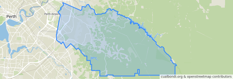
City Of Kalamunda
City Of Kalamunda
See in interactive map
Routes of public transport
270F Elizabeth Quay Bus Station → High Wycombe Station
270T High Wycombe Station → Elizabeth Quay Bus Station
280F High Wycombe Station → Westfield Carousel
280T Westfield Carousel → High Wycombe Station
293F Redcliffe → High Wycombe
293T High Wycombe → Redcliffe
294F High Wycombe → Foodbank WA
294T Foodbank WA → High Wycombe
Airport Line: Claremont → High Wycombe
Airport Line: High Wycombe → Claremont
Stops
Berkshire Road before Bougainvillea Avenue
Hale Road after Sheffield Road
Hale Road before Stringybark Drive
Dundas Road after Musk Court
Hale Road after Albizia Close
Maida Vale Road after Sultana Road
Hale Road before Strelitzia Avenue
Berkshire Rd Before Berberis Wy
Hawtin Rd After Azalea Gdns
Maida Vale Rpad after Myerson Crescent
Hawtin Road after Crimson Boulevard
Dundas Road before Wittenoom Road
Hale Road after Morrison Road
Hawtin Rd After Norwood Rd
Hale Road before Fife Street
Berkshire Road before Ashby Close
Hawtin Road after Kent Road
Abernethy Road after Hudswell Road
Abernethy Road before Grogan Road
Hale Road after Arthur Road
Hale Road after Sheffield Road
High Wycombe Station Stand 1
Abernethy Road opposite Australian Grain Centre
Hawtin Road after Berkshire Road
Hale Road after Anderson Road
Abernethy Road opposite Rail Freight Terminal
Maida Vale Road before Brenda Road
Hale Road after Woodlupine Court
Berkshire Rd Waldridge Lodge Aged Peoples Home
Dundas Road after Kapok Court
Points of interest
City Of Kalamunda