로그인
스타 사용자
투표
홈페이지
>
오스트레일리아
>
Western Australia
>
City Of Kalamunda
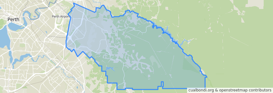
City Of Kalamunda
대화식지도에서보기
대중 교통 경로
270F Elizabeth Quay Bus Station → High Wycombe Station
270T High Wycombe Station → Elizabeth Quay Bus Station
280F High Wycombe Station → Westfield Carousel
280T Westfield Carousel → High Wycombe Station
293F Redcliffe → High Wycombe
293T High Wycombe → Redcliffe
294F High Wycombe → Foodbank WA
294T Foodbank WA → High Wycombe
Airport Line: Claremont → High Wycombe
Airport Line: High Wycombe → Claremont
버스 정류장
Hawtin Road after Berkshire Road
Maida Vale Road before Brenda Road
Dundas Road before Berkshire Road
Dundas Road before Wittenoom Road
Hawtin Rd After Sultana Rd
Hale Road after Arthur Road
Hawtin Rd Before Leschenaultia Wy
High Wycombe Station Stand 1
Hale Road after Morris Drive
Maida Vale Road before Pinker Crescent
Maida Vale Road after Brenda Road
Hale Road before Wimbridge Road
Hawtin Road after Maud Road
Dundas Road after Wittenoom Road
Abernethy Road opposite Rail Freight Terminal
Maida Vale Road after Milner Road
Berkshire Road before Apricot Street
Berkshire Road before Bonser Road
Hale Road after Hardey East Road
Abernethy Road opposite Australian Grain Centre
Hawtin Rd After Irwin Pl
High Wycombe
Hale Road before Strelitzia Avenue
Berkshire Road before Ashby Close
Abernethy Road after Grogan Road
Maida Vale Road before Milner Road
Abernethy Road before Grogan Road
Abernethy Road before Beyer Place
Hale Road after Anderson Road
Maida Vale Road after Hawtin Road
가볼만한 곳
City Of Kalamunda