ログインする
スターユーザー
投票
ホーム
>
オーストラリア
>
西オーストラリア
>
City Of Kalamunda
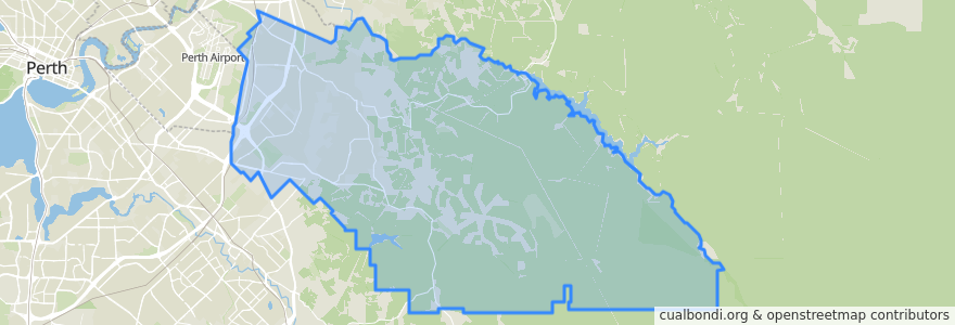
City Of Kalamunda
インタラクティブマップで見る
公共交通機関のルート
270F Elizabeth Quay Bus Station → High Wycombe Station
270T High Wycombe Station → Elizabeth Quay Bus Station
280F High Wycombe Station → Westfield Carousel
280T Westfield Carousel → High Wycombe Station
293F Redcliffe → High Wycombe
293T High Wycombe → Redcliffe
294F High Wycombe → Foodbank WA
294T Foodbank WA → High Wycombe
Airport Line: Claremont → High Wycombe
Airport Line: High Wycombe → Claremont
ストップ
Hale Road after Cypress Road
Hawtin Road after Maud Road
Hale Road before Reynolds Road
Abernethy Road after Dubs Close
Hale Road before Sheffield Road
High Wycombe Station Stand 1
Hale Road before Fife Street
Hale Road after Welshpool Road
High Wycombe Station Stand 7
Dundas Road after Musk Court
Maida Vale Road before Pinker Crescent
Maida Vale Road after Jaeger Court
Dundas Road before Wittenoom Road
Hale Road after Hardey East Road
Hawtin Rd After Norwood Rd
Maida Vale Road after Hawtin Road
Maida Vale Rpad after Myerson Crescent
Berkshire Road before Dawson Avenue
Abernethy Road before Dubs Close
High Wycombe
Berkshire Rd Before Ilex Wy
Hale Road after Arthur Road
Maida Vale Road after Butcher Road
Abernethy Road before Beyer Place
Berkshire Road before Mandevilla Street
Dundas Road before Kapok Court
Abernethy Road opposite Rail Freight Terminal
Berkshire Road before Nowotny Way
Hale Road before Strelitzia Avenue
Hale Road after Morris Drive
興味がある点
City Of Kalamunda