Conecte-se
Usuários estrela
Pesquisa
Início
>
Estados Unidos da América
>
Kansas
>
Riley County
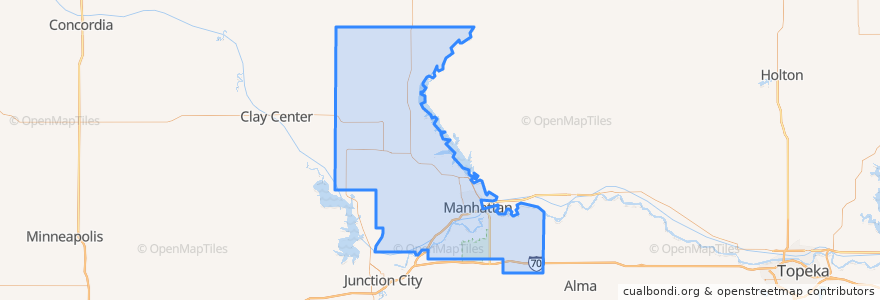
Riley County
Veja no mapa interativo
Rotas de transporte público
Bluemont EB
Bluemont WB
Freemont/Osage EB
Freemont/Osage WB
Jardine
Orange Northbound
Orange Southbound
Lugares
Manhattan
(7)
Fort Riley-Camp Whiteside
(0)
Fort Riley North
(0)
Leonardville
(0)
Ogden
(0)
Randolph
(0)
Riley
(0)
Paradas
Kramer
Jardine (Tunstall)
Derby
Pontos de interesse
Olive Garden Bike Rack
Powercat Sports Grill
Hy-Vee Fuel
Leonardville
Noodles & Company
United Bank & Trust
Sylvan
The Plastic Surgery Clinic
Long John Silver's
The Chef
Shell
K-Stat Urgent Care
The Thai Noodle
Blue Moose Bar & Grill
Candlewood Veterinary Clinic
Riley County
Mennonite Meetinghouse
Gordo's Restaurante Mexicano
Throwback Tavern
The Eye Doctors
KwikShop
Subway
Fat Shack
Hunam Express
Radina's Coffee House and Roastery
Finn's Pub
Via Christi Therapy Center
Tate's on Moro
The UPS Store
Fort Riley-Camp Whiteside