Accesso
Utenti preferiti
Sondaggio
Homepage
>
Stati Uniti d'America
>
Kansas
>
Riley County
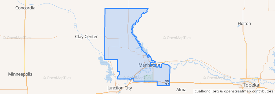
Riley County
Visualizza nella mappa interattiva
Percorsi di trasporto pubblico
Bluemont EB
Bluemont WB
Freemont/Osage EB
Freemont/Osage WB
Jardine
Orange Northbound
Orange Southbound
Posti
Manhattan
(7)
Fort Riley-Camp Whiteside
(0)
Fort Riley North
(0)
Leonardville
(0)
Ogden
(0)
Randolph
(0)
Riley
(0)
Fermate
Kramer
Jardine (Tunstall)
Derby
Punti di interesse
Little Apple Brewery
Bomb Bar
Cat Tracks Grill and Bar
E. Hamrick Swan Family Dentistry
Leonardville
Baskin-Robbins
Fat Shack
Hunam Express
The UPS Store
Insomnia Cookies
Richard Woodard D.D.S., P.A.
Jeff's Pizza Shop
New Century Bank
Tallgrass Taphouse
Gordo's Restaurante Mexicano
Powercat Sports Grill
The Salvation Army Worship Center
Blue Moose Bar & Grill
Fort Riley North
Finn's Pub
CoreFirst Bank & Trust
Panda Express
Candlewood Veterinary Clinic
Mennonite Meetinghouse
Seventh Day Adventist Church
Orange Leaf
Noodles & Company
Mojo's Beach Bar
Radina's Coffee
Manhattan