로그인
스타 사용자
투표
홈페이지
>
미국
>
캔자스
>
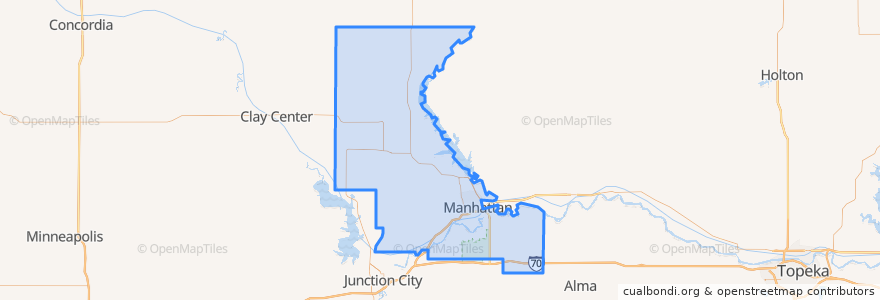
Riley County
Riley County
대화식지도에서보기
대중 교통 경로
Bluemont EB
Bluemont WB
Freemont/Osage EB
Freemont/Osage WB
Jardine
Orange Northbound
Orange Southbound
장소
Manhattan
(7)
Fort Riley-Camp Whiteside
(0)
Fort Riley North
(0)
Leonardville
(0)
Ogden
(0)
Randolph
(0)
Riley
(0)
버스 정류장
Derby
Jardine (Tunstall)
Kramer
가볼만한 곳
Johnny Kaw's Sports Bar
Kansas State University Police Department
MamaDeaux's Cajun & Creole Cafe
Radina's Coffee
Sidebothham Fountain
Powercat Sports Grill
Green Tea Sushi Bar
Mennonite Meetinghouse
The Plastic Surgery Clinic
Insomnia Cookies
Randolph
The UPS Store
Harry's
Seventh Day Adventist Church
Subway
Mojo's Beach Bar
The Chef
Richard Woodard D.D.S., P.A.
Panda Express
New Century Bank
Radina's Coffee
Wine Dive + Ktichen
Walgreens
Tate's on Moro
Riley
Blue Moose Bar & Grill
Early Edition
Genstler Eye Center
United Bank & Trust
Gordo's Restaurante Mexicano