Login
Star users
Poll
Home
>
United States
>
Kansas
>
Riley County
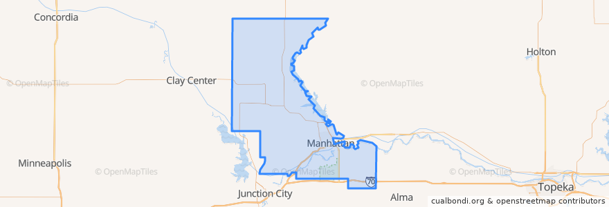
Riley County
See in interactive map
Routes of public transport
Bluemont EB
Bluemont WB
Freemont/Osage EB
Freemont/Osage WB
Jardine
Orange Northbound
Orange Southbound
Places
Manhattan
(7)
Fort Riley-Camp Whiteside
(0)
Fort Riley North
(0)
Leonardville
(0)
Ogden
(0)
Randolph
(0)
Riley
(0)
Stops
Jardine (Tunstall)
Kramer
Derby
Points of interest
Walgreens
The Eye Doctors
Marinello School of Beauty
JP's
Legends Sports Eats Drinks
Tindall Orthodontics
Sylvan
Green Apple bike rack
Pretzelmaker
KwikShop
Bidwell Family Fountain
della Voce
Fort Riley-Camp Whiteside
Leonardville
Drinx
Wine Dive + Ktichen
New Century Bank
The Plastic Surgery Clinic
The Goose Restaurant
Chick-fil-A
Auntie Mae's
MamaDeaux's Cajun & Creole Cafe
Fat Shack
The Thai Noodle
Cenex
Qdoba
Cornerstone
Buffalo Wild Wings
Qdoba
Phoenix Car Wash