Login
Usuarios estrella
Encuesta
Inicio
>
Estados Unidos de América
>
Indiana
>
Floyd County
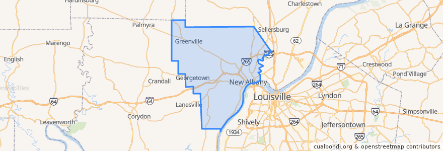
Floyd County
Ver en mapa interactivo
Recorridos de transporte público
71 Jeffersonville - Louisille - New Albany Westbound (selected)
71 Jeffersonville - Louisville - New Albany Eastbound (selected)
82 New Albany - Clarksville Crosstown Eastbound (alternate)
82 New Albany - Clarksville Crosstown Eastbound (regular)
82 New Albany - Clarksville Crosstown Westbound (regular)
Lugares
New Albany
(5)
Georgetown
(0)
Greenville
(0)
Paradas
Knob View Apt.
State / Elm
Park / Progress
Spring / Vincennes
Puntos de interés
Fistful of Tacos
Subway
Quill's Coffee
water closet
Shell
Mimo's Pizzeria
Griffin School
Tucker's
Marathon
Penn Station
Rite Aid
Arby's
Finding Her Health
McDonald's
Mimo's Pizzeria
Greenville
Starbucks
Marathon
The Exchange
Planned Parenthood
Papa Murphy's
Georgetown
La Catrina
Jimmy John's
Floyd County
Bella Roma
New Albany
Centra Credit Union
La Habana Blues
Surgical Center of New Albany