Login
Star users
Poll
Home
>
United States
>
Arkansas
>
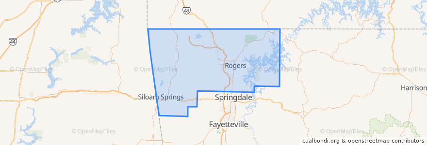
Benton County
Benton County
See in interactive map
Routes of public transport
ORT 11 Harps-Walmart
ORT 490 Northbound Hunt Tower-NWACC BC
ORT 490 Northbound NWACC WC-Hunt Tower
ORT 490 NWACC BC Connector
ORT 490 Southbound Hunt Tower-NWACC WC
ORT 490 Southbound NWACC-Hunt Tower
Places
Rogers
(5)
Bentonville
(4)
Lowell
(2)
Avoca
(0)
Bella Vista
(0)
Bethel Heights
(0)
Cave Springs
(0)
Centerton
(0)
Centerton
(0)
Decatur
(0)
Garfield
(0)
Gateway
(0)
Gentry
(0)
Gravette
(0)
Highfill
(0)
Little Flock
(0)
Pea Ridge
(0)
Siloam Springs
(0)
Springtown
(0)
Sulphur Springs
(0)
Stops
ORT Hunt Tower
ORT Harps
ORT Walmart 100
ORT NWACC BH
ORT NWACC Shewmaker
Points of interest
Derek Brown Orthodontist
Starbucks
Intrust Bank
Copeland's of New Orleans
Big Orange
Pediatrics
Braum's
Tropical Smoothie Cafe
First Western
Bella Vista
Murphy USA
Legacy Bank
Bike Rack
Kennedy Coffee
Rogers
Houlihan's
Debbie's Pharmacy
Colton's Steakhouse
Pauline Whitaker Library
Arvest
Centerton
Young Chefs Academy
Pea Ridge
Bentonville
Bank of the Ozarks
Apex Family Medical Clinic
Torchy's Tacos
Great Southern Bank
Einstein Bros. Bagels
Bethel Heights