Login
Star users
Poll
Home
>
United States
>
Arkansas
>
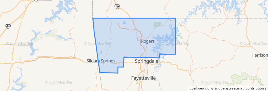
Benton County
Benton County
See in interactive map
Routes of public transport
ORT 11 Harps-Walmart
ORT 490 Northbound Hunt Tower-NWACC BC
ORT 490 Northbound NWACC WC-Hunt Tower
ORT 490 NWACC BC Connector
ORT 490 Southbound Hunt Tower-NWACC WC
ORT 490 Southbound NWACC-Hunt Tower
Places
Rogers
(5)
Bentonville
(4)
Lowell
(2)
Avoca
(0)
Bella Vista
(0)
Bethel Heights
(0)
Cave Springs
(0)
Centerton
(0)
Centerton
(0)
Decatur
(0)
Garfield
(0)
Gateway
(0)
Gentry
(0)
Gravette
(0)
Highfill
(0)
Little Flock
(0)
Pea Ridge
(0)
Siloam Springs
(0)
Springtown
(0)
Sulphur Springs
(0)
Stops
ORT Harps
ORT Walmart 100
ORT Hunt Tower
ORT NWACC BH
ORT NWACC Shewmaker
Points of interest
Kum & Go
Decatur
Grub's Bar & Grille
Hedberg Alergy
Chuy's
Brent Caple Pediatric Dentistry
Orthopedics
Pauline Whitaker Library
Starbucks
Kennedy Coffee
Waffle House
Cross Church
Braum's
General Surgery
Gentry
Rogers
Starbucks
Fork and Crust Pie Co.
Derek Brown Orthodontist
Northwest Arkansas Internal Medicine
Chick-fil-A
Wingstop
Crabby's Seafood Bar and Grill
Cold Stone Creamery
Garfield
Andy's Frozen Custard
Nick Yiannios Dental
Weight Loss Clinic
Bonner Ortho
Walmart Pharmacy