Conecte-se
Usuários estrela
Pesquisa
Início
>
Estados Unidos da América
>
Arkansas
>
Benton County
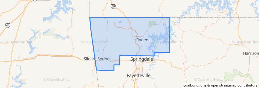
Benton County
Veja no mapa interativo
Rotas de transporte público
ORT 11 Harps-Walmart
ORT 490 Northbound Hunt Tower-NWACC BC
ORT 490 Northbound NWACC WC-Hunt Tower
ORT 490 NWACC BC Connector
ORT 490 Southbound Hunt Tower-NWACC WC
ORT 490 Southbound NWACC-Hunt Tower
Lugares
Rogers
(5)
Bentonville
(4)
Lowell
(2)
Avoca
(0)
Bella Vista
(0)
Bethel Heights
(0)
Cave Springs
(0)
Centerton
(0)
Centerton
(0)
Decatur
(0)
Garfield
(0)
Gateway
(0)
Gentry
(0)
Gravette
(0)
Highfill
(0)
Little Flock
(0)
Pea Ridge
(0)
Siloam Springs
(0)
Springtown
(0)
Sulphur Springs
(0)
Paradas
ORT Harps
ORT Hunt Tower
ORT Walmart 100
ORT NWACC BH
ORT NWACC Shewmaker
Pontos de interesse
JJs Grill
Benton County
P.F. Chang's
Copeland's of New Orleans
KNWA News
Bella Vista
Pauline Whitaker Library
Crabby's Seafood Bar and Grill
University of Arkansas Global Campus
PRO Martial Arts
Logan's Roadhouse
Applebee's
Legacy National Bank
Bethel Heights
Phillips 66
Young Chefs Academy
Braum's
Subway
Brent Caple Pediatric Dentistry
Becky Paneitz Student Center
Bentonville Fire Department Station 3
Waffle House
Buffalo Wild Wings
Northwest Arkansas Community College Police Department
Decatur
Orthopedics
Weight Loss Clinic
McDonald's
Internal Medicine
Colton's Steakhouse