Accesso
Utenti preferiti
Sondaggio
Homepage
>
Stati Uniti d'America
>
Arkansas
>
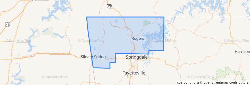
Benton County
Benton County
Visualizza nella mappa interattiva
Percorsi di trasporto pubblico
ORT 11 Harps-Walmart
ORT 490 Northbound Hunt Tower-NWACC BC
ORT 490 Northbound NWACC WC-Hunt Tower
ORT 490 NWACC BC Connector
ORT 490 Southbound Hunt Tower-NWACC WC
ORT 490 Southbound NWACC-Hunt Tower
Posti
Rogers
(5)
Bentonville
(4)
Lowell
(2)
Avoca
(0)
Bella Vista
(0)
Bethel Heights
(0)
Cave Springs
(0)
Centerton
(0)
Centerton
(0)
Decatur
(0)
Garfield
(0)
Gateway
(0)
Gentry
(0)
Gravette
(0)
Highfill
(0)
Little Flock
(0)
Pea Ridge
(0)
Siloam Springs
(0)
Springtown
(0)
Sulphur Springs
(0)
Fermate
ORT Harps
ORT NWACC BH
ORT Walmart 100
ORT NWACC Shewmaker
ORT Hunt Tower
Punti di interesse
Brent Caple Pediatric Dentistry
Donald E. White Auditorium
Braum's
Growler USA
Legacy Bank
Starbucks
Pickleman's
Starbucks
Cold Stone Creamery
Hedberg Alergy
P.F. Chang's
Pinnacle Bar and Grill
Landmark Cancer Center
Cross Church
The Dixie Cafe
Regions Bank
Kum & Go
Centerton
Lowell
Benton County
Little Flock
Grub's Bar & Grille
Highlands Oncology Group Cancer Center
Sulphur Springs
Tropical Smoothie Cafe
First Western
Garfield
Bonner Ortho
Waffle House
Young Chefs Academy