وارد شدن
کاربران ستاره
نظرسنجی
شروع
>
ایالات متحده آمریکا
>
نیومکزیکو
>
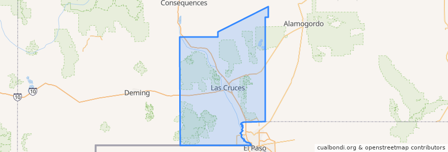
Doña Ana County
Doña Ana County
در نقشه تعاملی مشاهده کنید
مسیرهای حمل و نقل عمومی
NMSU Blue
Valley - Hoagland - North Solano - Walnut - Missouri
اماکن
Las Cruces
(2)
Chaparral
(0)
Doña Ana
(0)
Hatch
(0)
Mesilla
(0)
Mesquite
(0)
Radium Springs
(0)
Rincon
(0)
Salem
(0)
Santa Teresa
(0)
Sunland Park
(0)
Vado
(0)
White Sands
(0)
ایستگاه
Center Street
Aggie Express
Williams/Stewart
Tom Fort @ Espina
Enginnering 1 (EASTBOUND)
DACC on Gregg
O'Donnell (EASTBOUND)
Williams/Wells
Union/Sam Steel
University Avenue
Research/Standley
Tom Fort @ Fite
Knox Hall Pond/Gerald Thomas
نقاط مورد علاقه
Mesilla
A Blend of Nutrition
Sonic
White Sands
Chaparral
Hookah Zen
University Family Dental
Mountain View Market Kitchen
Salem
Santorini
MH Moore Orthodontist
Doña Ana
Carrillo's Cafe
China Express
Valley Pizza
Milagro Community Care
Vado
Starbucks
G. Pavia MD
Baskin-Robbins
Southern New Mexico Correctional Facility Library
Mix Express
Nights Evening Weekends (NEW) Urgent Care Center
Outdoor Adventure
Keva Juice
Lemongrass
Caliche's
Taste of India
Wingstop
New Mexico State University