логин
Звездные пользователи
Голосование
Дом
>
Соединённые Штаты Америки
>
Нью-Мексико
>
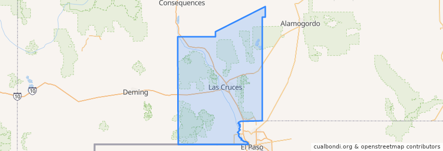
Doña Ana County
Doña Ana County
Смотрите на интерактивной карте
Маршруты общественного транспорта
NMSU Blue
Valley - Hoagland - North Solano - Walnut - Missouri
места
Las Cruces
(2)
Chaparral
(0)
Doña Ana
(0)
Hatch
(0)
Mesilla
(0)
Mesquite
(0)
Radium Springs
(0)
Rincon
(0)
Salem
(0)
Santa Teresa
(0)
Sunland Park
(0)
Vado
(0)
White Sands
(0)
Остановки
Tom Fort @ Fite
Center Street
DACC on Gregg
Union/Sam Steel
Enginnering 1 (EASTBOUND)
O'Donnell (EASTBOUND)
Tom Fort @ Espina
Williams/Stewart
Aggie Express
Williams/Wells
Research/Standley
University Avenue
Knox Hall Pond/Gerald Thomas
Точки интереса
Nights Evening Weekends (NEW) Urgent Care Center
Rincon
Doña Ana Branch Community College Library Media Center
High Desert Brewing Company
Las Cruces
Milagro Community Care
MH Moore Orthodontist
Caliche's
Zeffiro New York Pizzeria
Sonic
Bicycle Parking
University Family Dental
Quiznos
Southern New Mexico Correctional Facility Library
Subway
Starbucks
Pizza Hut
Lemongrass
Radium Springs
Mesquite
Salem
Mountain View Market Kitchen
Valley Pizza
Memorial General Hospital Library
Katana Teppanyaki Grill
New Mexico State University
Wingstop
Santa Teresa
Las Cruces Academy
A Blend of Nutrition