Oturum aç
Yıldız kullanıcılar
Anket
anasayfa
>
Amerika Birleşik Devletleri
>
Yeni Meksika
>
Doña Ana County
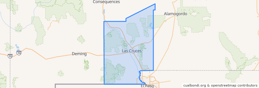
Doña Ana County
Etkileşimli haritada görüntüle
Toplu taşıma yolları
NMSU Blue
Valley - Hoagland - North Solano - Walnut - Missouri
Yerler
Las Cruces
(2)
Chaparral
(0)
Doña Ana
(0)
Hatch
(0)
Mesilla
(0)
Mesquite
(0)
Radium Springs
(0)
Rincon
(0)
Salem
(0)
Santa Teresa
(0)
Sunland Park
(0)
Vado
(0)
White Sands
(0)
Durur
Union/Sam Steel
University Avenue
Enginnering 1 (EASTBOUND)
Tom Fort @ Espina
Tom Fort @ Fite
Aggie Express
DACC on Gregg
Williams/Wells
Knox Hall Pond/Gerald Thomas
O'Donnell (EASTBOUND)
Research/Standley
Williams/Stewart
Center Street
İlgi noktaları
KFC
Hatch
Chaparral
Hurricane Alley
MH Moore Orthodontist
Southern New Mexico Correctional Facility Library
Mountain View Market Kitchen
High Desert Brewing Company
Las Cruces
Nellie's Cafe
Santa Fe Grill
Santorini
Sunland Park
Mesilla
Doña Ana County
White Sands
A Blend of Nutrition
G. Pavia MD
Sonic
Mix Pacific Rim Cuisine
Papa Murphy's
Rincon
RoadRunner Pizza
Subway
Sonic
Salem
One Stop
Zeffiro New York Pizzeria
Santa Teresa
Unity Church of Mesilla Valley