ログインする
スターユーザー
投票
ホーム
>
アメリカ合衆国
>
ニューメキシコ州
>
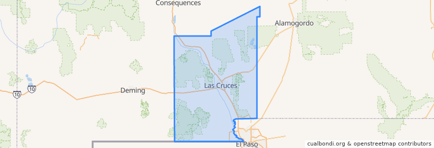
Doña Ana County
Doña Ana County
インタラクティブマップで見る
公共交通機関のルート
NMSU Blue
Valley - Hoagland - North Solano - Walnut - Missouri
場所
Las Cruces
(2)
Chaparral
(0)
Doña Ana
(0)
Hatch
(0)
Mesilla
(0)
Mesquite
(0)
Radium Springs
(0)
Rincon
(0)
Salem
(0)
Santa Teresa
(0)
Sunland Park
(0)
Vado
(0)
White Sands
(0)
ストップ
Williams/Stewart
Tom Fort @ Fite
University Avenue
Williams/Wells
O'Donnell (EASTBOUND)
Knox Hall Pond/Gerald Thomas
Enginnering 1 (EASTBOUND)
Center Street
Aggie Express
Union/Sam Steel
Research/Standley
DACC on Gregg
Tom Fort @ Espina
興味がある点
Sonic
Nights Evening Weekends (NEW) Urgent Care Center
New Mexico State University
Santorini
Papa Murphy's
Caliche's
Santa Fe Grill
White Sands
Hookah Zen
University Family Dental
High Desert Brewing Company
Radium Springs
G. Pavia MD
Katana Teppanyaki Grill
Mesilla
Sunland Park
KFC
Hatch
Mesquite
Outdoor Adventure
China Express
Milagro Community Care
Bicycle Parking
Rosie's Cafe Mesilla
Keva Juice
Valley Pizza
Mix Pacific Rim Cuisine
Las Cruces Academy
Sonic
Southern New Mexico Correctional Facility Library