Login
Usuarios estrella
Encuesta
Inicio
>
Estados Unidos de América
>
California
>
San Diego County
>
National City
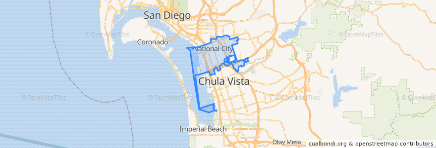
National City
Ver en mapa interactivo
Recorridos de transporte público
MTS 705 (to E Street Transit Center)
MTS 705 (to E Street Transit Center, short turn)
MTS 705 (to Southwestern College)
MTS 705 (to Westfield Plaza Bonita, short turn)
Navy Base San Diego Bus Route
UC San Diego Blue Line: America Plaza => San Ysidro Transit Center
UC San Diego Blue Line: San Ysidro Transit Center => America Plaza
Paradas
NBSD Pier 7 North
NBSD Pier 7 South
NBSD Fleet Exchange South
Plaza Bonita Transit Center
NBSD Harborside Gym
24th Street
NBSD Fleet Exchange North
NBSD Mole Rd.
8th Street
24th Street
NBSD Pier 5
Turnstyle/Gate 9 South
8th Street
Turnstyle/Gate 9 North
Puntos de interés
Burros & Fries
Saint Anthonys Roman Catholic Church
In-N-Out Burger
Saint Anthonys Catholic Church
Wetzel's Pretzels
Charley's Philly Steaks
First Christian Spiritualist Church
Redbox
Branch Health Clinic Dental NBSD
Broken Yolk Cafe
Stone Oven
Freeze Gourmet
Iglesia de Dios de la Profecia
Branch Health Clinic NBSD
Pizza Hut Express
L&L Hawaiian Barbecue
Potato Corner
Pentecostal Tabernacle of the Assembly of God
The Buffalo Spot
Subway
Sarku Japan
Gerry's Grill
Red Box
Denny's
Cafe Estela
McDonald's
Starbucks
National City
National City Police Community Storefront
Kimball School