Login
Star users
Poll
Home
>
United States
>
Washington
>
Franklin County
>
Pasco
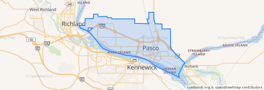
Pasco
See in interactive map
Routes of public transport
Route 150 Eastbound
Route 160 Eastbound
Route 160 Westbound
Route 225 Eastbound
Route 225 Westbound
Route 41 Clockwise
Route 41 Counter-clockwise
Route 66 Eastbound
Route 66 Westbound
Route 67 Eastbound
Route 67 Westbound
Places
West Pasco
(6)
Stops
Road 44 & Desert
Chapel Hill & Saint Paul
Argent & 20th Avenue
Argent & Road 68
Road 84 & Bell
Burden & Kalahari
Court & 18th Avenue
Burden & Road 44
Sylvester & 32nd Avenue
Court & 1st Avenue
Court & Road 52
Argent & Road 76
Sandifur & Midland
Court & Road 52
Chapel Hill & Saint Paul
Lewis & 26th avenue
Lewis & 24th Avenue
20th Avenue & Irving
Argent & 20th Avenue
Sylvester & 4th Avenue
Burden & Clemente
Argent & Road 68
Road 44 & Desert
1st Avenue & Nixon
4th Avenue & Bonneville
10th Avenue & B Street
20th Avenue & Agate
Road 76 & Cordero
Burden & Madison
Sylvester & 27th Avenue
Points of interest
Perro USA
Grand Central Coffee Station
Trejo's Mexican Restaurant
My FroYo
Redbox
El Asadero
Bin No. 20 Wine Bar & Restaurant
Shell
Ostler Orthodontics
Oriental Express
CBC Dental Hygiene Clinic
Doñita's Tacos
Mercy's Taco Pizza
Lavaraca Meat Market
CBC Library
Heritage University
Little Caesars
Fiesta
U.S. Bank
DaVita Dialysis
La Vina Grupo
Franklin County Jail
Love Curry
A&W
Tesla Supercharger
Tri-City Junior Academy
Sunrise Super Gas
Miramar
Iglesia Bautista de Riverview
Havana Café