Login
Usuarios estrella
Encuesta
Inicio
>
Estados Unidos de América
>
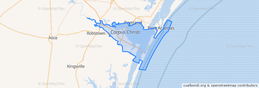
Corpus Christi
Corpus Christi
Ver en mapa interactivo
Recorridos de transporte público
Advanced Industries
Gregory / Downtown Express
Leopard / Omaha
Santa Fe / Malls
Westside / Health Clinic
Paradas
Agnes @ 21st
Port @ Tarlton Heb
Antelope @ Upper Broadway Ns
Schatzell @ Mesquite (La Retama Park)
Santa Fe @ Mitchell
10th St.@ Mckenzie
Tancahua @ Park
Airline @ Belmeade @ St. Bartholomew's Church
Agnes @ Hiawatha FS
19th @ Morris
Lipan @ Carrizo
Santa Fe @ Louise
Up River @ Westchester
Airline @ Lucille
Omaha @ Van Cura
Port @ Baldwin (Fs)
Leopard @ Villa
Carancahua @ Park
Santa Fe @ Laurel
Santa Fe @ Lorraine
Santa Fe @ Sinclair
I37 Access Rd @ Up River
Carancahua @ Agnes
Santa Fe @ Brawner Pkwy
Santa Fe @ Doddridge
Tancahua @ Kinney
Santa Fe @ Lousiana
Port @ Nimitz
Mcardle @ Burlington Coat Factory
19th @ Agnes
Puntos de interés
Coles Elementary School
Navy Army Federal Credit Union
Our Lady of Perpetual Help Catholic School
Corpus Christi Fire Department Station 3
H-E-B Pharmacy
Exxon
Central Catholic Elementary School
Morgan Avenue Baptist Church
Exxon
Jamba Juice
Furman School
Austin School
H-E-B Pharmacy
The UPS Store
Marantha Pentecostal Church
Templo Baptist Church
US District Courthouse
Hester's
Starbucks
Pentecostal Holiness Church
Iglesia Metodista Unida Church
Oak Park United Methodist Church
Subway
Saint Josephs Catholic Church
Exxon Gas
Holy Family Catholic Church
Fraser School
Lozano School
Church's Chicken
Holy Cross School