Login
Star users
Poll
Home
>
United States
>
Wisconsin
>
Milwaukee County
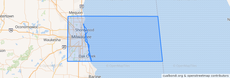
Milwaukee County
See in interactive map
Routes of public transport
L-Line
MCTS 219 Oak Creek Shuttle
MCTS 276 Brown Deer Shuttle
MCTS 40 College Avenue Flyer
MCTS RedLine Capitol Drive
Places
Milwaukee
(4)
Brown Deer
(1)
Glendale
(1)
Oak Creek
(1)
Shorewood
(1)
Wauwatosa
(1)
Bayside
(0)
Cudahy
(0)
Fox Point
(0)
Franklin
(0)
Greendale
(0)
Greenfield
(0)
Hales Corners
(0)
River Hills
(0)
Saint Francis
(0)
South Milwaukee
(0)
West Allis
(0)
West Milwaukee
(0)
Whitefish Bay
(0)
Points of interest
Sweet Diner
The Green Kitchen
Wilson Theater at Vogel Hall
North Dock
Entrance
Centennial Hall
Milwaukee Junior Academy
Exit
Exit
Blu
CityCenter at 735 Visitor Valet Parking
Saint Patrick School
Saint Mark Lutheran School
Exit
Aria Café & Bar
Exit
Entrance
Ward's House of Prime
Lazo's Taco Shack
414 Bar + Kitchen
BelAir Cantina Oak Creek
540 AM ESPN Radio and 1510 ESPN Deportes
U.S. Bank
Rock Bottom Restaurant & Brewery
Planned Parenthood of Wisconsin
Wells Fargo
Herzfeld Photography, Print, and Drawing Study Center
MATC Dental Clinic
Bright Beginnings Children's Center
Literary Services of Wisconsin