Login
Star users
Poll
Home
>
United States
>
Wisconsin
>
Milwaukee County
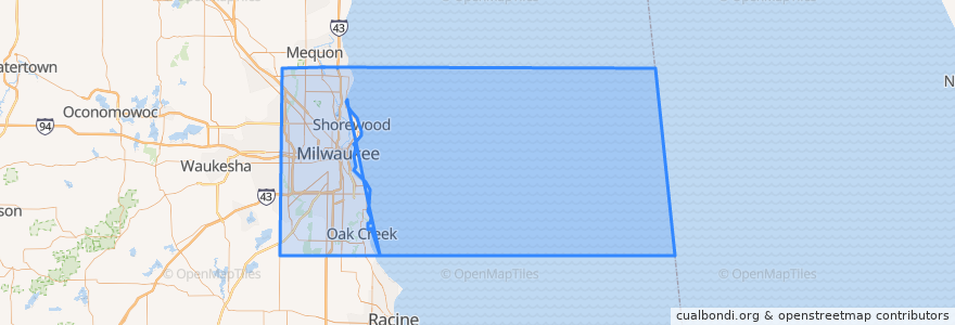
Milwaukee County
See in interactive map
Routes of public transport
L-Line
MCTS 219 Oak Creek Shuttle
MCTS 276 Brown Deer Shuttle
MCTS 40 College Avenue Flyer
MCTS RedLine Capitol Drive
Places
Milwaukee
(4)
Brown Deer
(1)
Glendale
(1)
Oak Creek
(1)
Shorewood
(1)
Wauwatosa
(1)
Bayside
(0)
Cudahy
(0)
Fox Point
(0)
Franklin
(0)
Greendale
(0)
Greenfield
(0)
Hales Corners
(0)
River Hills
(0)
Saint Francis
(0)
South Milwaukee
(0)
West Allis
(0)
West Milwaukee
(0)
Whitefish Bay
(0)
Points of interest
Bradley Pavilion
Milwaukee LGBT Community Center
BMO Harris Bank
The Rouge
The Hyde
MATC Dental Clinic
Café Calatrava
Downtown Kitchen
Stiemke Studio
Schlotzsky's
Carnevor
Third Coast Provisions
St. Paul Fish Company
Exit
Wheaton Franciscan Healthcare
Bar 333
Glendale
MATC Shipping & Receiving
Exit
The Dark Room
Ampersand Theater Company
Oggie's
Mo's Irish Pub
Enter
South Milwaukee
Exit
Triskele's
Monthly Parking Entrance
Stone Creek Coffee
Grand Avenue Club