Conecte-se
Usuários estrela
Pesquisa
Início
>
Estados Unidos da América
>
Wisconsin
>
Milwaukee County
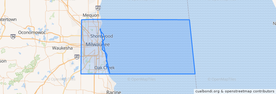
Milwaukee County
Veja no mapa interativo
Rotas de transporte público
L-Line
MCTS 219 Oak Creek Shuttle
MCTS 276 Brown Deer Shuttle
MCTS 40 College Avenue Flyer
MCTS RedLine Capitol Drive
Lugares
Milwaukee
(4)
Brown Deer
(1)
Glendale
(1)
Oak Creek
(1)
Shorewood
(1)
Wauwatosa
(1)
Bayside
(0)
Cudahy
(0)
Fox Point
(0)
Franklin
(0)
Greendale
(0)
Greenfield
(0)
Hales Corners
(0)
River Hills
(0)
Saint Francis
(0)
South Milwaukee
(0)
West Allis
(0)
West Milwaukee
(0)
Whitefish Bay
(0)
Pontos de interesse
The Shops of Grand Avenue Enter
Mutual Health Center
Sequoia Station Milwaukee Post Office
Exit Only
Visitor Parking
Monthly Parking Entrance
Exit Only
Municipal Research Center
Third Coast Provisions
Parking Entry
Kaña Mojito Lounge
Bacchus
Pin-It Live
Prime Financial Credit Union
Jackson's Blue Ribbon Pub
Milwaukee Orthopaedic Group Limited
The Soup & Stock Market
Milwaukee Police Department District 1 Station
BelAir Cantina Oak Creek
Gospel Evanvelical Lutheran School
Entrance
The Venue at MBC
The King and I
Giggly Champagne & Wine Bar
University of Wisconsin-Milwaukee School of Continuing Education
Oak Creek City Hall
Associated Bank
Artisan Ramen
Exit Only
Monthly Parking