로그인
스타 사용자
투표
홈페이지
>
미국
>
위스콘신
>
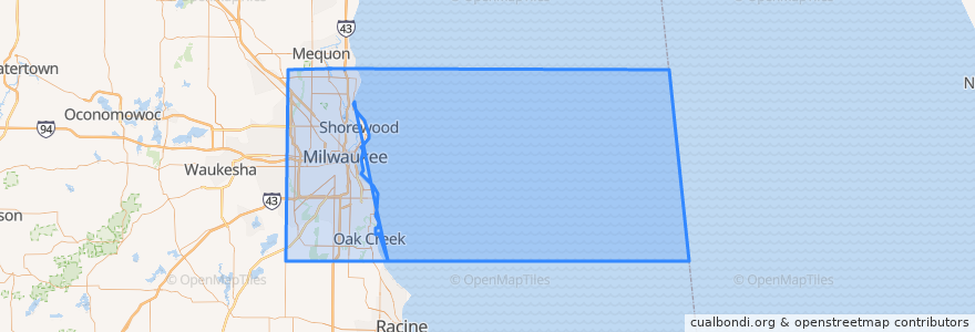
Milwaukee County
Milwaukee County
대화식지도에서보기
대중 교통 경로
L-Line
MCTS 219 Oak Creek Shuttle
MCTS 276 Brown Deer Shuttle
MCTS 40 College Avenue Flyer
MCTS RedLine Capitol Drive
장소
Milwaukee
(4)
Brown Deer
(1)
Glendale
(1)
Oak Creek
(1)
Shorewood
(1)
Wauwatosa
(1)
Bayside
(0)
Cudahy
(0)
Fox Point
(0)
Franklin
(0)
Greendale
(0)
Greenfield
(0)
Hales Corners
(0)
River Hills
(0)
Saint Francis
(0)
South Milwaukee
(0)
West Allis
(0)
West Milwaukee
(0)
Whitefish Bay
(0)
가볼만한 곳
Stir
Exit
Major Goolsby's
The Venue at MBC
Exit Only
Oak Creek City Hall
Buckley's Restaurant & Bar
Java Corner Cafe
Plaza East Structure
Entrance
BB's
Dental Associates
Colectivo
Zipcar
Exit Only
The Grain Exchange
Pritzlaff Events
Brown Deer
The Capital Grille
VUE
Johnson Bank
Domino's Pizza
Enter
Lazo's Taco Shack
The Institute of Beauty & Wellness
Margarita Paradise Mexican Restaurant
Chic Underground Lounge
Herzfeld Photography, Print, and Drawing Study Center
Mo's Irish Pub
Bacchus