ログインする
スターユーザー
投票
ホーム
>
アメリカ合衆国
>
ウィスコンシン州
>
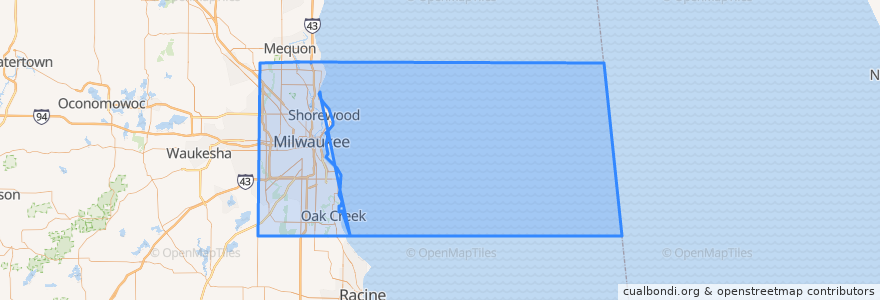
Milwaukee County
Milwaukee County
インタラクティブマップで見る
公共交通機関のルート
L-Line
MCTS 219 Oak Creek Shuttle
MCTS 276 Brown Deer Shuttle
MCTS 40 College Avenue Flyer
MCTS RedLine Capitol Drive
場所
Milwaukee
(4)
Brown Deer
(1)
Glendale
(1)
Oak Creek
(1)
Shorewood
(1)
Wauwatosa
(1)
Bayside
(0)
Cudahy
(0)
Fox Point
(0)
Franklin
(0)
Greendale
(0)
Greenfield
(0)
Hales Corners
(0)
River Hills
(0)
Saint Francis
(0)
South Milwaukee
(0)
West Allis
(0)
West Milwaukee
(0)
Whitefish Bay
(0)
興味がある点
Refuge Cafe
Zipcar
Oak Creek Public Library
833 East
Bomb Shelter
Dental Associates
Bublr Bikes
Foltz Family Market
XO Cocktail Parlor
Stella Van Buren
South Dock
Evangel Baptist School
Cubanitas
Monthly Parking Entrance
Cafe La Scala
The Dark Room
Rodizio Grill
Municipal Research Center
Loading Dock
Hales Corners
Café Calatrava
The Rouge
Distil
All Aboard Cafe
Cabot Theatre
Tre Rivali
Onesto
Exit
Gospel Evanvelical Lutheran School
St. Peters Evangelical Lutheran Church