Login
Usuarios estrella
Encuesta
Inicio
>
Australia
>
Australia Occidental
>
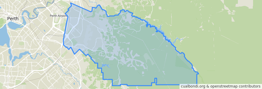
City Of Kalamunda
City Of Kalamunda
Ver en mapa interactivo
Recorridos de transporte público
270F Elizabeth Quay Bus Station → High Wycombe Station
270T High Wycombe Station → Elizabeth Quay Bus Station
280F High Wycombe Station → Westfield Carousel
280T Westfield Carousel → High Wycombe Station
293F Redcliffe → High Wycombe
293T High Wycombe → Redcliffe
294F High Wycombe → Foodbank WA
294T Foodbank WA → High Wycombe
Airport Line: Claremont → High Wycombe
Airport Line: High Wycombe → Claremont
Paradas
Hale Road before Hardey East Road
Hale Road after Woodlupine Court
Maida Vale Road after Hawtin Road
Hawtin Rd After Irwin Pl
Dundas Road before Wittenoom Road
Dundas Road before Kapok Court
High Wycombe
High Wycombe Station Stand 7
Hawtin Road after Kent Road
Berkshire Rd Waldridge Country Estate
Hale Road after Morris Drive
Berkshire Road before Mandevilla Street
Hale Rald before Cypress Road
Hawtin Road before Crimson Boulevard
Abernethy Road after Grogan Road
Abernethy Road opposite Rail Freight Terminal
Abernethy Road before Grogan Road
Hawtin Rd After Leschenaultia Wy
Hale Road after Morrison Road
Maida Vale Road after Milner Road
Hawtin Road after Berkshire Road
Berkshire Rd After Berberis Wy
Berkshire Rd Before Ilex Wy
Hawtin Rd Before Leschenaultia Wy
Maida Vale Road before Pinker Crescent
Hale Road before Wimbridge Road
Hale Road before Stringybark Drive
Abernethy Road after Grogan Road
Hale Road before Reynolds Road
Abernethy Road opposite Australian Grain Centre
Puntos de interés
City Of Kalamunda