Anmelden
Star-Benutzer
Umfrage
Startseite
>
Australien
>
Victoria
>
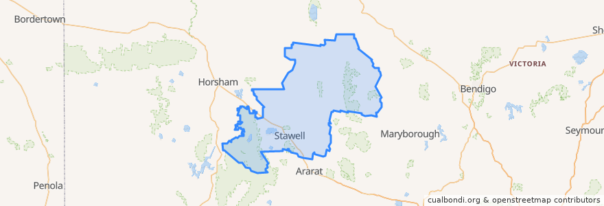
Shire of Northern Grampians
Shire Of Northern Grampians
Siehe in der interaktiven Karte
Routen des öffentlichen Verkehrs
Adelaide bus station → Bendigo railway station
Ararat - Stawell via Western Highway
Bendigo railway station → Adelaide bus station
Maryborough - Bealiba & Dunolly Loop
Melbourne (Southern Cross Station) - Mildura
Mildura - Melbourne (Southern Cross Station)
St Arnaud - Stawell via Ararat
St Arnaud - Stawell via Marnoo
Stawell - Stawell (Ligar Street) Loop
Haltestellen
Dundas Street
Mobil Roadhouse
Stawell Station
Dundas Street
Grain Silo
Grain Silo
Mobil Roadhouse
Grain Silo
Dundas Street
Sehenswürdigkeiten
Commonwealth Bank
Town Hall Hotel
Stawell Post Office
Tesla Supercharger
Shire of Northern Grampians
Gift Hotel
Commonwealth Bank
Stawell Police Station