Conecte-se
Usuários estrela
Pesquisa
Início
>
Austrália
>
Vitória
>
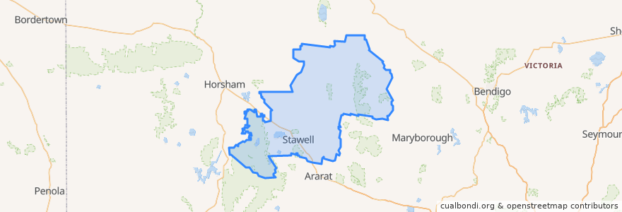
Shire of Northern Grampians
Shire Of Northern Grampians
Veja no mapa interativo
Rotas de transporte público
Adelaide bus station → Bendigo railway station
Ararat - Stawell via Western Highway
Bendigo railway station → Adelaide bus station
Maryborough - Bealiba & Dunolly Loop
Melbourne (Southern Cross Station) - Mildura
Mildura - Melbourne (Southern Cross Station)
St Arnaud - Stawell via Ararat
St Arnaud - Stawell via Marnoo
Stawell - Stawell (Ligar Street) Loop
Paradas
Mobil Roadhouse
Grain Silo
Dundas Street
Dundas Street
Stawell Station
Mobil Roadhouse
Dundas Street
Grain Silo
Grain Silo
Pontos de interesse
Gift Hotel
Stawell Police Station
Stawell Post Office
Commonwealth Bank
Town Hall Hotel
Shire of Northern Grampians
Commonwealth Bank
Tesla Supercharger