Ouverture de session
Utilisateurs étoile
Sondage
Accueil
>
Australie
>
Victoria
>
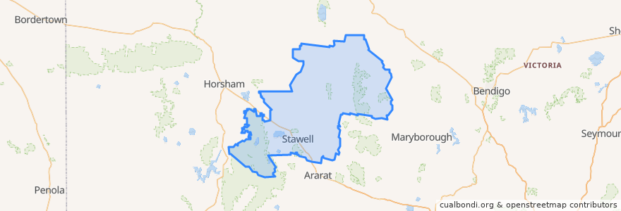
Shire of Northern Grampians
Shire Of Northern Grampians
Voir sur la carte interactive
Itinéraires des transports publics
Adelaide bus station → Bendigo railway station
Ararat - Stawell via Western Highway
Bendigo railway station → Adelaide bus station
Maryborough - Bealiba & Dunolly Loop
Melbourne (Southern Cross Station) - Mildura
Mildura - Melbourne (Southern Cross Station)
St Arnaud - Stawell via Ararat
St Arnaud - Stawell via Marnoo
Stawell - Stawell (Ligar Street) Loop
Arrêts
Mobil Roadhouse
Dundas Street
Grain Silo
Dundas Street
Grain Silo
Grain Silo
Mobil Roadhouse
Dundas Street
Stawell Station
Points d'interêts
Stawell Police Station
Commonwealth Bank
Town Hall Hotel
Commonwealth Bank
Shire of Northern Grampians
Stawell Post Office
Gift Hotel
Tesla Supercharger