로그인
스타 사용자
투표
홈페이지
>
오스트레일리아
>
빅토리아
>
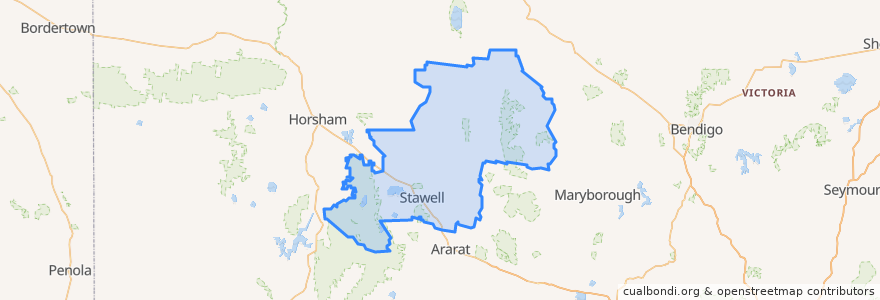
Shire of Northern Grampians
Shire Of Northern Grampians
대화식지도에서보기
대중 교통 경로
Adelaide bus station → Bendigo railway station
Ararat - Stawell via Western Highway
Bendigo railway station → Adelaide bus station
Maryborough - Bealiba & Dunolly Loop
Melbourne (Southern Cross Station) - Mildura
Mildura - Melbourne (Southern Cross Station)
St Arnaud - Stawell via Ararat
St Arnaud - Stawell via Marnoo
Stawell - Stawell (Ligar Street) Loop
버스 정류장
Grain Silo
Grain Silo
Mobil Roadhouse
Mobil Roadhouse
Dundas Street
Stawell Station
Dundas Street
Grain Silo
Dundas Street
가볼만한 곳
Commonwealth Bank
Shire of Northern Grampians
Gift Hotel
Tesla Supercharger
Stawell Police Station
Town Hall Hotel
Stawell Post Office
Commonwealth Bank