Log masuk
Pengguna bintang
Undian
Laman utama
>
Australia
>
Victoria
>
Shire of Northern Grampians
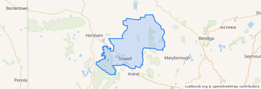
Shire Of Northern Grampians
Lihat di peta interaktif
Laluan pengangkutan awam
Adelaide bus station → Bendigo railway station
Ararat - Stawell via Western Highway
Bendigo railway station → Adelaide bus station
Maryborough - Bealiba & Dunolly Loop
Melbourne (Southern Cross Station) - Mildura
Mildura - Melbourne (Southern Cross Station)
St Arnaud - Stawell via Ararat
St Arnaud - Stawell via Marnoo
Stawell - Stawell (Ligar Street) Loop
Perhentian
Mobil Roadhouse
Dundas Street
Grain Silo
Dundas Street
Mobil Roadhouse
Grain Silo
Dundas Street
Grain Silo
Stawell Station
Tempat menarik
Tesla Supercharger
Commonwealth Bank
Stawell Post Office
Gift Hotel
Town Hall Hotel
Shire of Northern Grampians
Stawell Police Station
Commonwealth Bank