Login
Star users
Poll
Home
>
United States
>
Kansas
>
Riley County
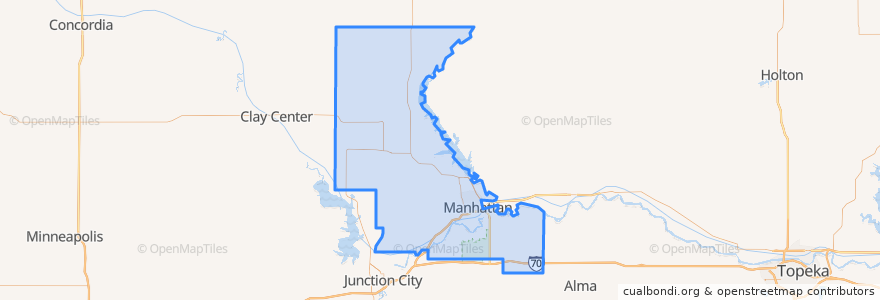
Riley County
See in interactive map
Routes of public transport
Bluemont EB
Bluemont WB
Freemont/Osage EB
Freemont/Osage WB
Jardine
Orange Northbound
Orange Southbound
Places
Manhattan
(7)
Fort Riley-Camp Whiteside
(0)
Fort Riley North
(0)
Leonardville
(0)
Ogden
(0)
Randolph
(0)
Riley
(0)
Stops
Jardine (Tunstall)
Kramer
Derby
Points of interest
Marinello School of Beauty
Insomnia Cookies
Subway
KwikShop
Orange Leaf
Powercat Sports Grill
Fat Shack
Kansas State Bank
Sidebothham Fountain
Cenex
Firehouse Subs
Navy Federal Credit Union
Genstler Eye Center
Radina's Coffee
Long John Silver's
Ogden
Finn's Pub
Auntie Mae's
K-Stat Urgent Care
Calios
Tallgrass Taphouse
Qdoba
Olive Garden Bike Rack
Bomb Bar
Cornerstone
Varsity Donuts Food Truck
Commerce Bank
Aggieville Lounge
Leonardville
Johnny Kaw's Sports Bar