Login
Star users
Poll
Home
>
United States
>
Kansas
>
Riley County
>
Manhattan
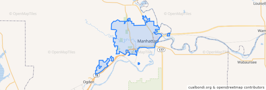
Manhattan
See in interactive map
Routes of public transport
Bluemont EB
Bluemont WB
Freemont/Osage EB
Freemont/Osage WB
Jardine
Orange Northbound
Orange Southbound
Stops
Derby
Kramer
Jardine (Tunstall)
Points of interest
Drinx
Radina's Coffee House and Roastery
Subway
K-Stat Urgent Care
Sidebothham Fountain
The Goose Restaurant
Fat Shack
The Goose
Time Out Corner
Manhattan Foot Specialists, PA
Harry's
Shot Stop
CoreFirst Bank & Trust
The Thai Noodle
Qdoba
Pizza Shuttle
K+STAT Urgent Care
della Voce
Cat Tracks Grill and Bar
Manhattan
Buffalo Wild Wings
Genstler Eye Center
Kansas State Post Office
Insomnia Cookies
Finn's Pub
New Century Bank
Cenex
Pretzelmaker
Aggieville Lounge
E. Hamrick Swan Family Dentistry